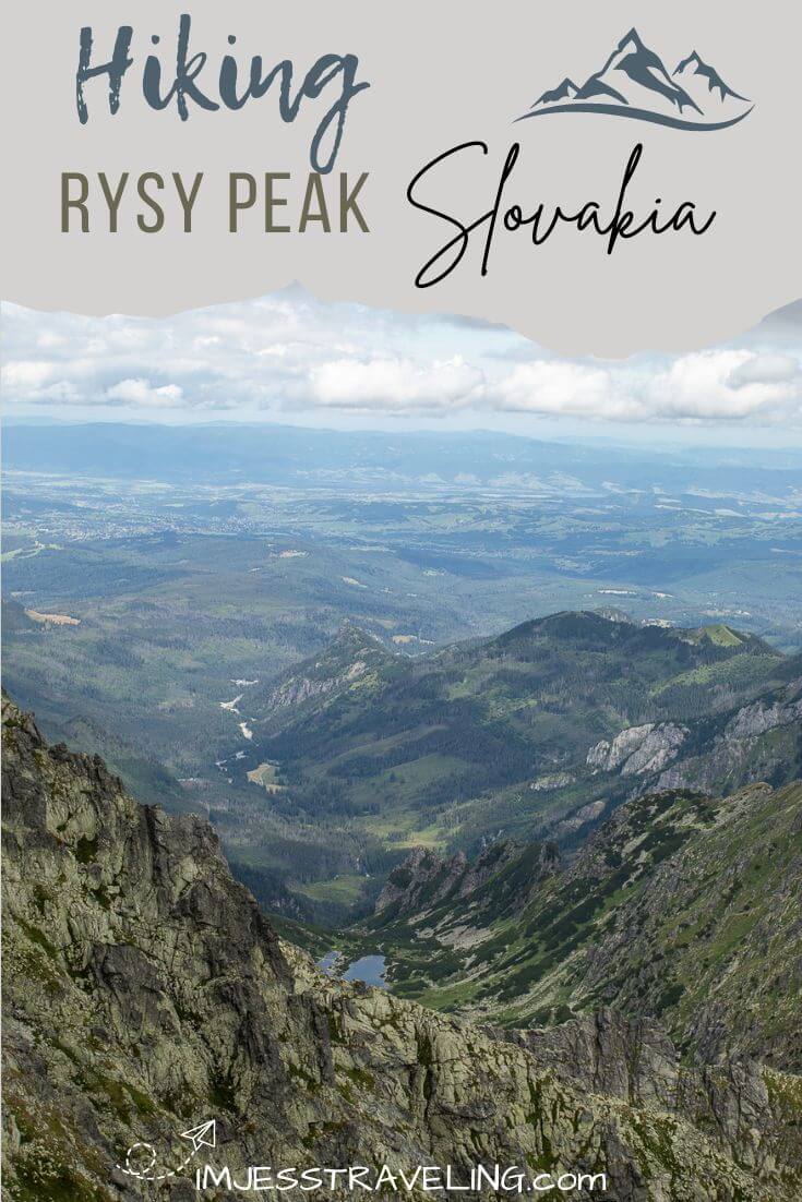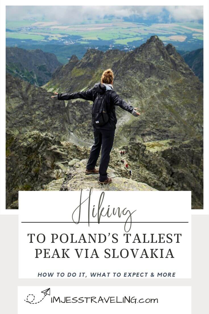
The Rysy Hike is located in the beautiful High Tatra Mountains where the trail starts in Slovakia and peaks in Poland. In fact, Rysy Peak is the highest mountain in Poland and the highest mountain in the Tatras that you can hike without a guide.
Standing at an altitude of 2,503 meters or 8,212 feet, hiking to Rysy Peak promises an unforgettable adventure. The hike up Rysy Mountain offers stunning panoramic views of the surrounding landscapes, glacial lakes, picturesque valleys and rugged peaks.
In this article, we’ll get into all the details to prepare you for a trip to the High Tatras Mountains in Slovakia. I’ll cover everything you need to know about the Rysy Hike, including how to get to the trailhead, what to expect, and any other useful tips to know before you go hiking in Slovakia.

For full transparency, this post contains affiliate links, which means I may earn a small commission if you make a purchase - at no additional cost to you. I only recommend products and services that I genuinely use, trust, or believe will add value to your travels. Your support helps me continue creating free travel guides for you to enjoy.
About Hiking Rysy Peak
The Rysy hike to Rysy Peak is an adventure that takes you to the highest point in Poland. Situated in the High Tatra mountain range which straddles the border of Slovakia and Poland.
There are two approaches to reach the summit of Rysy Peak.The most popular route begins from Zakopane, Poland at Morskie Oko Lake, and ascends through scenic landscapes, passing the mountain hut known as Schronisko PTTK Murowaniec.
There’s even a fun chains and ladders section. The final scramble ascent to the summit rewards hikers with breathtaking panoramic views of the surrounding peaks and valleys.
From Slovakia, you can hike from Štrbské Pleso, which is an easier route to the summit versus the route mentioned earlier. Hiking from Slovakia means that you can summit the highest mountain in Poland without ever really hiking in Poland. Pretty cool huh?


Rysy Hike Stats
- 💪 Difficulty: Difficult
- ⏰ Duration: Full day | 7 to 10 hours
- ⛰️ Elevation Gain: 4400 feet
- 🥾 Distance: 12.5 Miles Round Trip
Technically the hike starts Popradské Pleso but the only way to get to Popradské Pleso is by walking. To get here, you’ll have to park your car in Štrbské Pleso and walk the rest of the way to the alpine lake, hotel and restaurant.


How to Get to the Rysy Peak Trailhead | Slovakia
As mentioned earlier, the Rysy hike starts Popradské Pleso. First you must find parking in Štrbské Pleso. You’ll take an access road to get here. Just put these coordinates in your GPS.
If you get here early enough, which I recommend that you do, you can park on the side of the road. There are parking attendants and machines to buy a parking ticket.
There are also porter potties and what looked like a snack shop although it was closed when we arrived at around 7 am. There were still plenty of parking spaces available when we arrived and we hiked peak season in the beginning of August.
When we were returning to our car after the hike, we saw several tickets on windshields of vehicles as we walked by. Thankfully since we bought a ticket to park, we were not affected. Moral of the story is, they will fine you if you don’t buy a ticket.


Here is what to expect on the walk from Štrbské Pleso to Popradské Pleso:
- 💪 Difficulty: Easy
- ⛰️ Elevation Gain: 900 feet
- ⏰ Duration: 45 minutes to 1 hour
- 🥾 Distance: 2.5 miles one-way
Follow the road north, cross over the train tracks, and up the paved road until you reach Popradské Pleso. There are signs pointing you in the right direction along the way.
Once you make it to the lake (Popradské Pleso), you will see signs for the trailhead to Rysy Peak on the lefthand side of the road. If you stay the night at this hotel on the lake, they will pick you up and you could avoid that part of the hike all together,
There are toilets and a restaurant at the lake as well if you need them. It is possible to hike around the lake, which takes about an hour. You have a long day ahead of you, so I’d save circumventing the lake for another day.


On Rysy Trail to Rysy Peak
- 💪 Difficulty: Hard
- ⛰️ Elevation Gain: 3,400 feet
- ⏰ Duration: 3 to 5 hours
- 🥾 Distance: 3.7 Miles One Way
From here it’s 3.7 miles up to Rysy Peak. The first part of the trail gradually takes you up through an alpine forest.
Just follow the blue trail until you get to Mengusovská Valley. Then you take the red trail to mount Rysy. Trails are well marked and easy to follow.
You’ll pass over some rivers and see small waterfalls in the distance. There are plenty of large rocks you can crawl up on and take a breather and have a snack.

This is where the trail really starts to open up and shine. Next, we have the switchbacks. These are exhausting but all in all, they’re not that bad.
This is the more strenuous part of the hike but the views make up for it. And if the sun has made an appearance you may get lucky with a little sunlight on your face.
After the switchbacks you’ll enter a large boulder field which feels like the trail levels out. Then it takes you past a couple alpine lakes.

You can watch tiny dots crawl up the mountainside, as you really start to get a view of Rysy Peak from this part of the trail. From here, the trail turns to the rights and begins to climb up.
Two and a half, three hours in, we come to my favorite part of the hike, the chains and ladders. Sine you hike up the same way you hike down, expect a few slow parts and traffic jams if you get a late start.
We started the Rysy hike at 7 am and made it to the chain section way before anyone would be coming down the chains. The chains and ladders, were wide and easy to navigate.


Reaching Chata pod Rysmi on the Rysy Hike
45 minutes later you’ll reach the Chata pod Rysmi. This is a lodge almost seems like a mirage as it’s located smack dab in the middle of a boulder field.
This bar and restaurant is a great place to take a break or use the bathroom. It has one of the most scenic views from a toilet that I have ever seen.
We went into the lodge and had a couple beers on our way back down the mountain. We waited in line at that scenic bathroom I mentioned earlier for almost an hour!
You’re in the middle of a boulder field, and there aren’t many places to duck off if you have an emergency. Our options were to hold it or wait in line. We waited and needed to warm up in the lodge.


From Chata pod Rysmi its a fun hour steep rock scramble to the summit. There are a couple different spots to sit on at the summit. When we hiked, the trail looked busy on the switchbacks and it felt very crowded at the summit.
You did it, you’re standing on the tallest peak in Poland. Once you’re done catching your breath and taking pics, return back the way you came.
Rysy Hike Travel Vlog
Would you rather see what hiking Rysy Peak is like? Joe and I filmed the Rysy hike in August after spending the entire summer in the Balkans.
Check it out after you read this post and please subscribe or give us a thumbs up. It doesn’t cost you anything and really helps us be able to continue creating free content for you to enjoy 🙂.
🎥 Watch our Slovakia Series on YouTube
When is the Best Time to Hike Rysy Hike
The best time to hike Rysy trail is in the summer from the end of May to September. Any other time, the trail is covered in snow making it impossible to hike.
We did some High Tatras hiking in the beginning of August and it was lightly snowing on us at the lodge and summit. I’ll go over what to bring in the next section but do dress warm when hiking Rysy Peak.


Tips for Hiking the High Tatras on Rysy Hike
- Temperatures can get cold, bring warm clothing.
- You need your own transportation to complete this hike.
- Leave no trace.
- Bring ample water.
- Bring snacks.
- Wear proper hiking shoes.
- Check the weather before you hike.
- Start early. This is a popular hike in Slovakia.
What to Pack for Hiking Rysy Peak
- Sunscreen
- Water
- GoPro
- Hiking boots
- Hiking poles optional
- Trail Mix/ Snacks
- Cold Weather Clothing – Gloves, Hat, Warm Jacket
- Cash for the lodge
Where to Stay in High Tatras Slovakia
There are a few different towns that make a great base to go hiking in the High Tatra Mountains – Tatranská Lomnica, Štrbské Pleso, and Poprad.
When I went hiking Rysy Peak, I stayed in Tatranská Lomnica at Vila Mala Marta. It was a nice budget friendly accommodation that we were able to get last minute.
Hotel Lomnica is an excellent choice if you prefer a bit of luxury after a day of hiking. This would be my choice if I ever return.

Other Noteworthy Hikes Around the World
Looking for more worldwide trekking adventures? I have only just started to properly document all of my hiking/trekking excursions. Below are a few hikes that stand out from the rest.
Salkantay Trek – 46 miles in completion that takes you through rugged mountain terrain and connects Cusco to Machu Picchu. The maximum elevation of this trek is at 15,090 feet at the Salkantay Pass.
Colca Canyon – Offers trekkers a chance to spot soaring condors, stay in an oasis on the canyon floor, witness some of Peru’s most beautiful landscapes, bathe in thermal hot springs and hike through desert scenery.
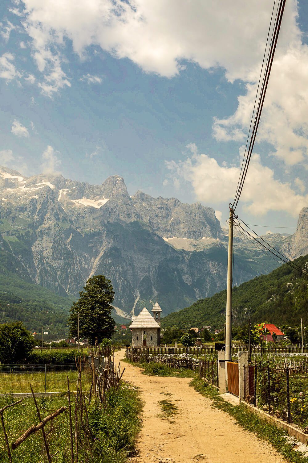
Valbona to Theth Trek – An adventure through the Albanian Alps hiking connecting Valbona and Theth National Park.
Haleakala Volcano – Hiking into the world’s largest dormant volcano on Maui, staying the night in a cabin and hiking out another route.
Overnight Trek on Acatenango – This overnight trek has you sleeping on a volcano for a front row views of an active volcano erupting through the night.
Final Thoughts on Hiking the Rysy Hike
The Rysy hike offers stunning views, glacial lakes, and rugged peaks. From the fun chains and ladders section to the insane restaurant smack dab in the middle of a boulder field, there’s many reasons to love this hike.
Plus how many people can say that you started hiking in Slovakia and ended up at the highest peak in Poland. If you found this article useful, let fellow travelers know in the comments below 👇.
Europe Travel Guides ↓
I haven’t traveled much in this part of the world. Here are the guides that I do have.
Enjoy this Post?!?! Pin in for Later ↓